


 Download(526.62KB)
 1.0.1
1.0.1
 178.31KB
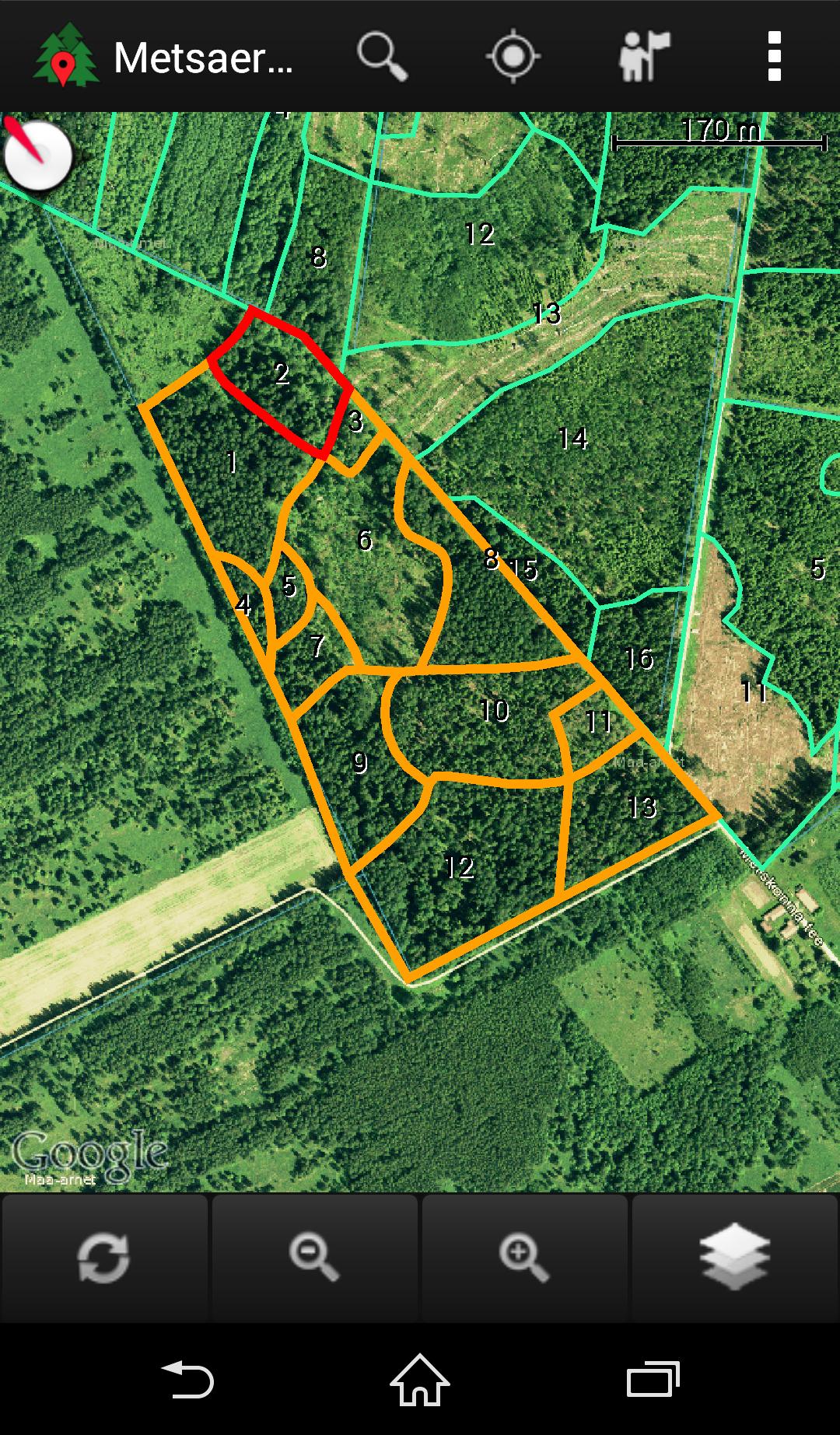
Find your forest and see its location on the map.
Data from the Forest Register for a touch of a button
* The boundaries of forest allocations
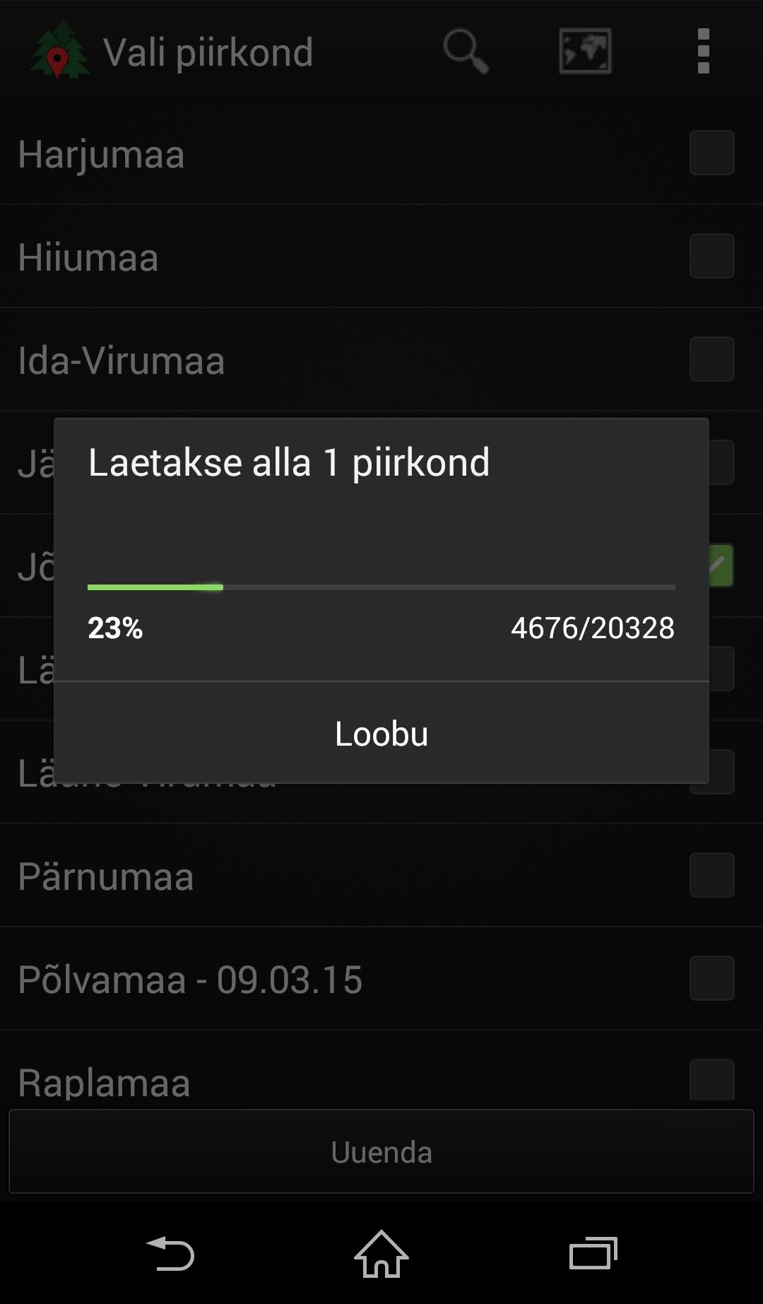
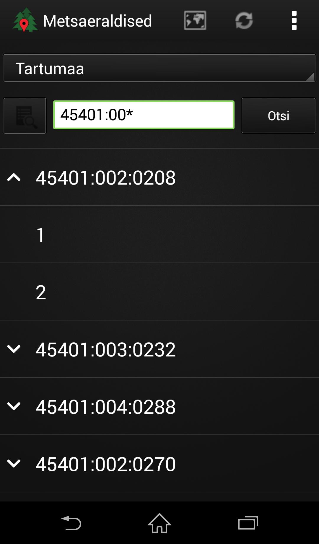
* Data and Notifications of the Forest Register
* The boundaries of cadastral units
* Land Board Orthophoto, Forestry Photo, Height Model
* Land Board's main map, soil card, hybrid card
* Land Board restrictions layer
* Google road card or satellite card
* GPS location on the map
* shows the direction of the device on the map to facilitate orientation
* Google navigation
* Opportunity to open your card layer
App for Viewing Data from Estonian Forest Database.
Deskis OÜ
 Users also viewed
See all
Users also viewed
See all
updated
updated
updated
updated
updated
updated
updated
updated
updated
updated
updated
updated
Popular Games
See all
updated
updated
updated
updated
updated
updated
updated
updated
updated
updated
updated
updated